Jakob Keller · 21 October 2026
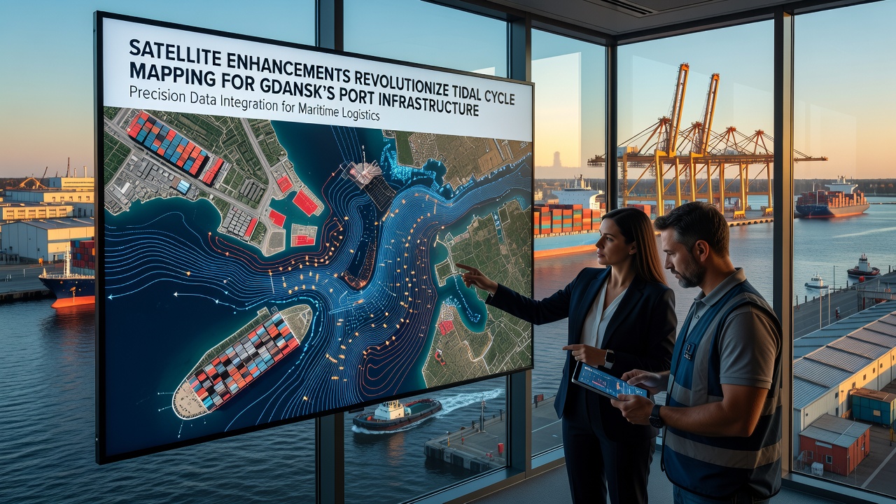
Satellite Enhancements Revolutionize Tidal Cycle Mapping for Gdansk's Port Infrastructure
Advances in satellite technology continue to transform how tidal cycles get mapped along the Baltic coast, particularly at Gdansk's port facilities where precise water level data drives daily operations and long-term planning. Researchers at institutions across Europe have integrated higher-resolution sensors from missions like Sentinel-3 and upcoming constellations to capture real-time variations in sea surface height, current speeds, and wave patterns that traditional buoy networks often miss. These upgrades deliver updates every few hours instead of daily averages, which allows port authorities to adjust dredging schedules and vessel traffic management with greater accuracy.
Technical Improvements in Orbital Data Collection
Enhanced radar altimetry and synthetic aperture radar capabilities now resolve tidal signals at scales below one kilometer, a level that reveals localized effects from harbor geometry and river inflows near the Vistula estuary. Data processing pipelines combine these readings with ground-based GNSS stations to reduce atmospheric interference, and the resulting models achieve vertical accuracy within centimeters. Observers note that the shift from sporadic overpasses to near-continuous coverage stems from expanded satellite constellations and improved onboard processing units that filter noise before downlink.
One study released by the European Space Agency highlighted how multi-frequency observations separate tidal constituents more cleanly than earlier single-band approaches, and this separation matters for ports handling large container ships where even small miscalculations in under-keel clearance can trigger delays. Teams working with the Copernicus Marine Service have applied these datasets to refine hydrodynamic simulations that forecast surge events days ahead, and the models incorporate wind forcing from the same orbital platforms.
Application to Gdansk Port Operations
Gdansk's infrastructure, including its deep-water terminals and breakwaters, experiences semi-diurnal tides modulated by Baltic Sea seiches and seasonal ice cover. Satellite-derived maps now track these interactions across the entire port basin, revealing circulation cells that influence sediment transport and berth accessibility. Port engineers use the updated charts to optimize maintenance windows during neap tides when water levels stabilize, and this scheduling reduces downtime compared with earlier reliance on sparse tide gauge records.
Figures from the Polish Maritime Administration show that integration of orbital data has cut forecast errors for high-water events by roughly thirty percent since 2023, and the improvement supports safer navigation through the approach channels. Analysts point out that seasonal patterns captured in 2025 data already indicate stronger winter surges linked to shifting atmospheric pressure systems, prompting updates to quay wall reinforcement timelines.

Developments Expected by October 2026
By October 2026 the launch of next-generation altimetry satellites promises sub-weekly global coverage at even finer spatial grids, and Gdansk stands to benefit from the added passes over the southern Baltic. Preparatory campaigns have already begun merging these anticipated datasets with existing radar and optical records to build ensemble forecasts that account for both astronomical tides and meteorological residuals. Experts involved in the Copernicus program emphasize that validation campaigns using autonomous surface vehicles will run alongside the new orbital streams to confirm accuracy before full operational rollout.
Regional cooperation agreements signed in 2024 between Baltic states and Nordic agencies have standardized data formats, which simplifies cross-border model inputs and reduces duplication in processing efforts. The result appears in shared dashboards that display tidal residuals across Gdansk, Gdynia, and Klaipeda simultaneously, allowing coordinated responses during storm seasons.
Broader Infrastructure and Environmental Links
Accurate tidal mapping feeds directly into decisions about expanding container terminals and upgrading flood defenses around the port perimeter. Models now simulate how altered circulation from new breakwaters might shift deposition zones, and satellite time series provide the baseline measurements needed to detect those changes early. Environmental monitoring groups incorporate the same datasets when tracking salinity gradients that affect local ecosystems near the port's outer harbor.
Industry reports from the European Maritime Safety Agency indicate that ports adopting satellite-enhanced tidal products report measurable gains in throughput efficiency, though adoption rates vary with existing sensor infrastructure. Gdansk's ongoing digital twin project for the entire harbor area relies on these orbital layers as a core data stream, and planners continue to test real-time assimilation techniques that blend fresh satellite passes with numerical models.
Conclusion
The combination of refined satellite instrumentation, expanded constellations, and integrated processing frameworks has shifted tidal cycle mapping from periodic snapshots to dynamic, high-resolution monitoring at Gdansk. Continued releases of validated products through 2026 will further tighten the link between orbital observations and operational decisions, supporting safer navigation alongside resilient infrastructure development along the Baltic coast.