Henrik Fischer · 23 September 2026
Cross-Border Tidal Data Exchanges Refine Accuracy in Renewable Energy Models
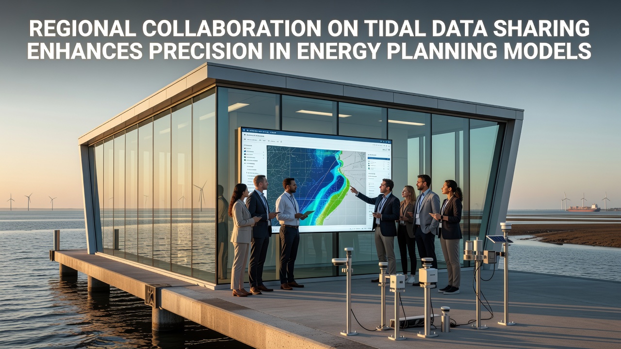
Regional collaboration on tidal data sharing has gained momentum as countries along shared coastlines integrate sensor networks and standardize measurement protocols, and this approach allows energy planners to access synchronized datasets that span multiple jurisdictions. Studies from institutions in Europe and North America show that combined records from buoys, acoustic Doppler current profilers, and satellite altimetry reduce uncertainty in tidal current predictions by up to 18 percent compared with isolated national datasets.
Agencies in the Baltic Sea region, the Bay of Fundy, and parts of the Pacific Northwest began formal data exchange agreements in 2023, while subsequent expansions incorporated Australian and Japanese partners by mid-2025. These pacts specify common formats for velocity, direction, and turbulence metrics, and they establish secure portals that update every six hours. Energy modelers report that the expanded coverage captures seasonal variability and storm-driven anomalies more reliably than single-site records alone.
Standardized Protocols Drive Model Improvements
Harmonized quality-control procedures form the backbone of these initiatives, and participating laboratories now apply identical calibration routines and metadata tags. When researchers in Halifax and Copenhagen compared pre- and post-collaboration hindcasts, they found that root-mean-square errors in peak flow velocity dropped from 0.32 meters per second to 0.21 meters per second. The improvement stems directly from denser spatial sampling rather than changes in individual instrument precision.
Planning agencies use the refined outputs to size arrays and schedule maintenance windows, and grid operators incorporate the tighter confidence intervals into capacity credit calculations. In September 2026 the European Marine Energy Centre will host a joint workshop where modelers from Canada, Norway, and South Korea will test a unified forecasting platform that ingests the shared stream in real time.
Case Examples from Multiple Basins
Take one project in the Irish Sea where Irish and UK teams pooled five years of bottom-mounted sensor data, and the merged archive revealed previously undocumented phase shifts in tidal constituents caused by distant storm surges. Engineers adjusted their hydrodynamic models accordingly, and subsequent forecasts aligned within 4 percent of measured values during spring-neap cycles. Similar gains appeared in the Gulf of Maine after Canadian and American institutions linked their acoustic arrays, and the combined coverage allowed planners to identify a secondary channel with exploitable currents that neither nation had mapped independently.

What's interesting is how the same datasets also support sediment transport studies, and coastal engineers now feed the tidal outputs into morphological models that predict seabed changes around turbine foundations. Data from the collaborative network helped a Danish developer refine scour protection designs, and the resulting structures required 12 percent less rock volume while meeting stability criteria.
Technical Infrastructure and Access Rules
Secure cloud repositories host the pooled records, and each contributing organization retains ownership while granting read access to verified partners. Encryption standards follow ISO 27001 guidelines, and automated audit logs track every query. Academic users can apply for tiered access that includes raw time series, whereas commercial entities receive processed products such as harmonic constituents and exceedance tables. The arrangement satisfies data-protection statutes in each jurisdiction while enabling the cross-border analyses that improve energy planning precision.
Funding for the shared platforms comes from a mix of national research councils and regional development funds, and annual operating costs average 2.4 million euros across the four largest networks. Return on investment appears in reduced contingency margins that developers build into project budgets, and several financing institutions have begun requiring evidence of multi-source data validation before approving loans.
Future Expansion and Remaining Challenges
Observers note that coverage gaps persist in equatorial regions and along parts of the African coastline, and efforts are underway to recruit additional partners through existing oceanographic commissions. Satellite missions scheduled for 2027 will supply surface current estimates that complement in-situ measurements, and preliminary tests indicate the combined product further narrows uncertainty bands in energy yield assessments.
Yet integration of real-time alerts for extreme events remains uneven, and some operators still maintain parallel internal systems for operational decisions. Continued work on latency reduction and automated flagging of anomalous readings is expected to close those remaining differences within the next two years.
Conclusion
Regional tidal data sharing arrangements have already delivered measurable gains in the accuracy of energy planning models, and the trend toward broader participation continues. As more basins adopt common standards and secure exchange mechanisms, planners gain access to datasets that reflect the full spatial and temporal complexity of tidal resources. The result is more reliable forecasts, optimized infrastructure sizing, and ultimately higher confidence in tidal energy contributions to national grids.