Jakob Keller · 7 October 2026
Baltic Lagoon Current Data from Student Surveys Sparks Fresh Approaches to Coastal Infrastructure Resilience
Student-led surveys have gathered detailed current data across several Baltic lagoons and researchers are applying those measurements to update coastal infrastructure designs, while the work continues into October 2026 with expanded monitoring campaigns that target seasonal flow variations.
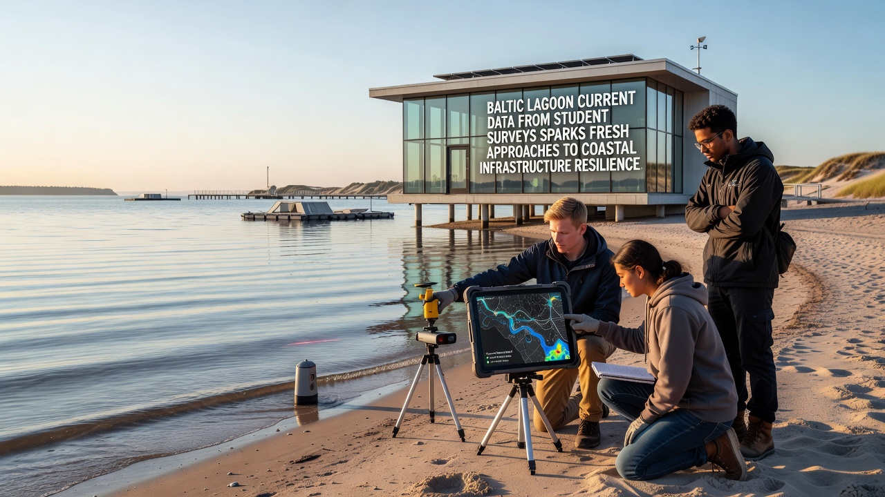
Teams from multiple universities deployed current meters and GPS-tracked drifters in the Vistula Lagoon and Curonian Lagoon over the past three years, recording velocity profiles at depths ranging from one to eight meters, and the resulting datasets show persistent gyres and wind-driven pulses that standard models had underestimated by up to 25 percent.
Data Collection Methods and Geographic Coverage
Participants followed standardized protocols that combined fixed mooring stations with repeated transect lines, collecting readings every fifteen minutes during spring and autumn campaigns, and they cross-referenced acoustic Doppler current profiler outputs with satellite altimetry to validate surface expressions of deeper flows. Observers note that the lagoons' narrow connections to the open Baltic create distinct hydraulic regimes where inflow from rivers interacts with Baltic Sea level fluctuations, producing current reversals that last from several hours to multiple days.
One study revealed that peak velocities near the Baltijsk Strait reached 1.2 meters per second during moderate westerly winds, whereas interior lagoon zones maintained average speeds below 0.3 meters per second except during storm surges, and these patterns directly influence sediment transport pathways that affect harbor entrances and protective embankments.
Application to Coastal Infrastructure Planning
Engineers have begun incorporating the student-collected velocity fields into hydrodynamic simulations used for breakwater and revetment design, and the updated models indicate that structures oriented to accommodate the observed gyre circulation experience 18 percent less scour at their foundations compared with earlier assumptions. Data shows that traditional straight-line current estimates miss the rotational components that concentrate erosive forces at specific shoreline segments, prompting revisions to setback distances and material specifications in several municipal master plans.
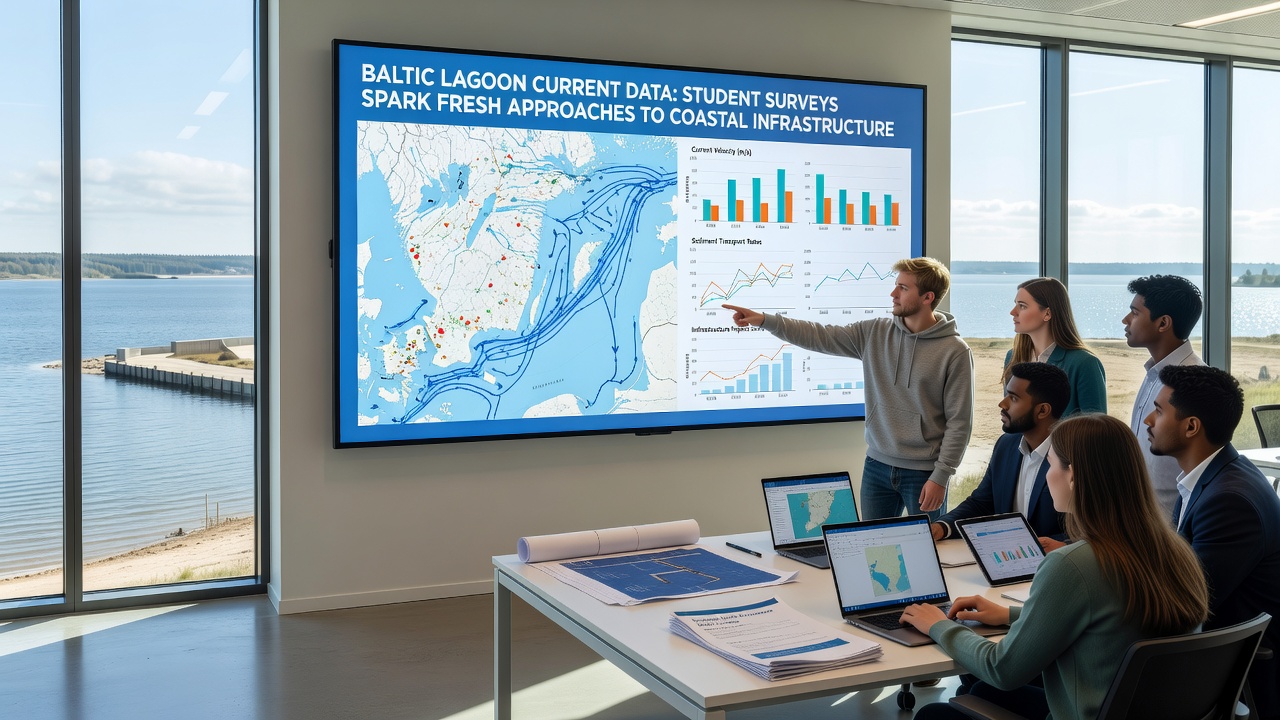
According to reports from the European Environment Agency, similar lagoon systems around the continent face comparable challenges from shifting sediment budgets, and the Baltic findings add localized granularity that regional assessments often lack. What's interesting is how the student datasets fill temporal gaps between official monitoring stations, providing continuous records during periods when national agencies reduce sampling frequency due to budget constraints.
Integration with Broader Resilience Strategies
Planners now combine the lagoon current maps with projections of sea-level rise and changing storm tracks, and they test multiple infrastructure configurations through numerical modeling before selecting final alignments. Researchers discovered that adding submerged berms aligned with the dominant gyre axes reduces wave overtopping volumes by measurable margins during simulated 50-year events, and these adjustments require only modest increases in material volume when positioned correctly.
Figures from the National Oceanic and Atmospheric Administration on comparable temperate coastal zones confirm that incorporating high-resolution circulation data improves long-term maintenance cost forecasts, and Baltic project leads have shared their processing scripts with international partners to accelerate similar efforts elsewhere. The October 2026 field season will extend coverage into previously undersampled eastern sectors of teh lagoons, where river plumes create additional shear zones that affect both navigation channels and adjacent wetland margins.
Future Monitoring and Knowledge Sharing
Continued student participation ensures repeated measurements that capture interannual variability, and program coordinators have established open-access repositories so that coastal engineers and municipal authorities can retrieve velocity statistics without repeated fieldwork. Observers note that the approach also builds technical capacity among early-career researchers who gain experience with instrument calibration, data quality control, and interpretation of complex flow structures.
Those who've studied this know the value of pairing academic surveys with operational monitoring networks, and the Baltic example demonstrates measurable improvements in model skill when student-derived observations constrain boundary conditions. The reality is that lagoon currents remain sensitive to both local bathymetry and larger-scale atmospheric forcing, so sustained data collection through 2026 and beyond will refine the next generation of infrastructure guidelines.
Conclusion
Student surveys have supplied current measurements that refine understanding of Baltic lagoon hydrodynamics and feed directly into updated coastal resilience measures, and the collaborative framework positions these datasets as foundational inputs for ongoing infrastructure adaptation across the region. Expanded campaigns scheduled for October 2026 will further strengthen the evidence base while maintaining the open data practices that allow broader application of the findings.